
Hiking in Angel Fire
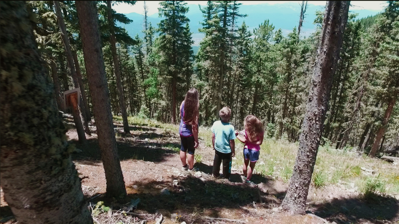
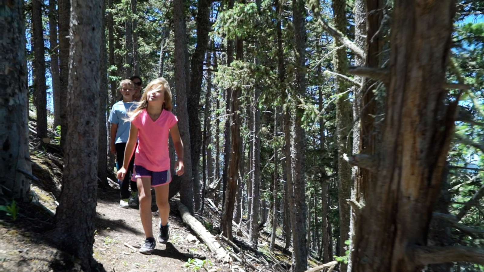
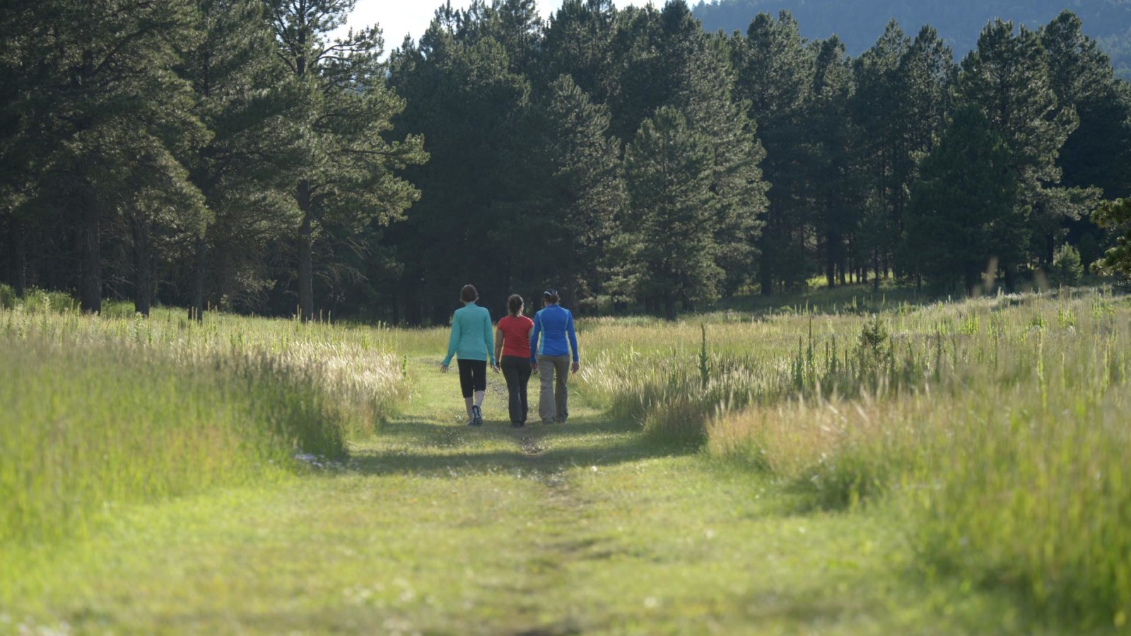
The Moreno Valley awaits your adventurous spirit. Experience the great outdoors on terrain suited for all levels on our multiple hiking trails.
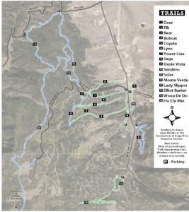
Trail maps can be found below.
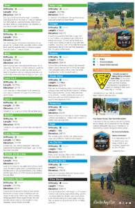
Greenbelt Trails
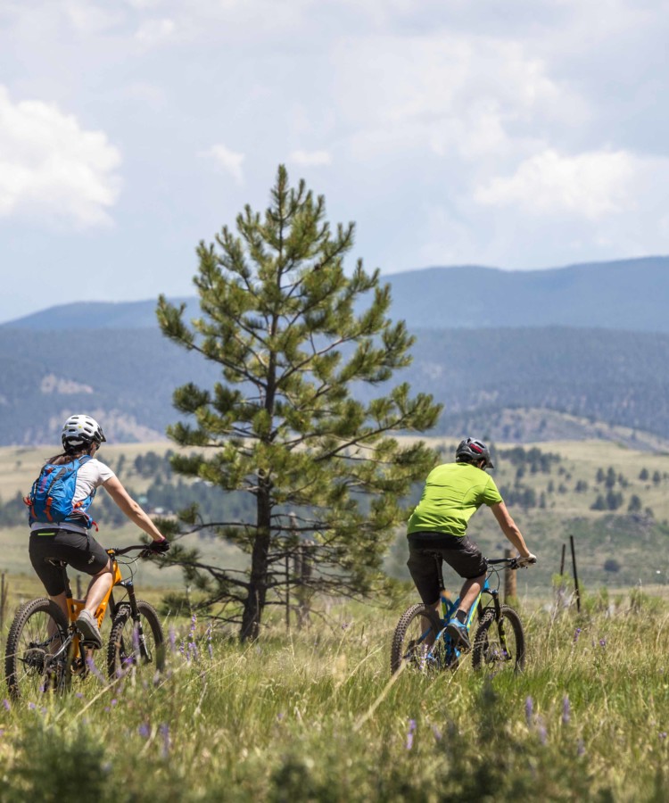
The Greenbelt trail system is a free-access system of trails located within the Village of Angel Fire open to non-motorized traffic including:
- Cross Country Mountain Biking
- Running
- Hiking
- Snowshoeing
- Horseback Riding
You may cater your route to your ability level and sense of adventure. There are numerous combinations.
Local favorites include: Oeste Vista Trail #9; Monte Verde Trail #12; and Lady Slipper Trail #13
Mountain Trails
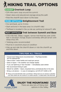
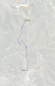
We have a few hiking trail options on our resort mountain including Overlook Loop, Enlightenment Trail, and the Trek to/from the Summit which is an extremely difficult hiking trail that spans over 2000 vertical feet in just over 5 miles. Information on these trails can be found below.
*Note that hiking on the ski trails or the bike trails is not permitted.
Other Area Trails
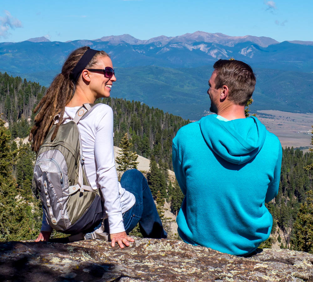
The Carson National Forest has an abundance of hiking trails suited for all levels of ability, including the scenic Williams Lake Trail #62 that continues onto the Wheeler Peak Trail #90, which brings you to the top of New Mexico’s tallest mountain.
Other National Forest trails to try near Angel Fire are the South Boundary Trail #164, a 23-mile hike from just south of Angel Fire to right outside of Taos, NM (shuttles are recommended for returning), and the Elliot Barker Trail #1.
Maps & Information
- Enlightenment Trail
- Greenbelt Trails
- Greenbelt Trails


Cross Country Mountain Biking
Learn more
Golf at Angel Fire Resort
Learn more